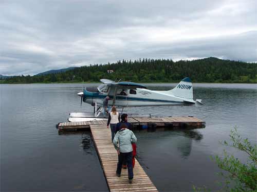
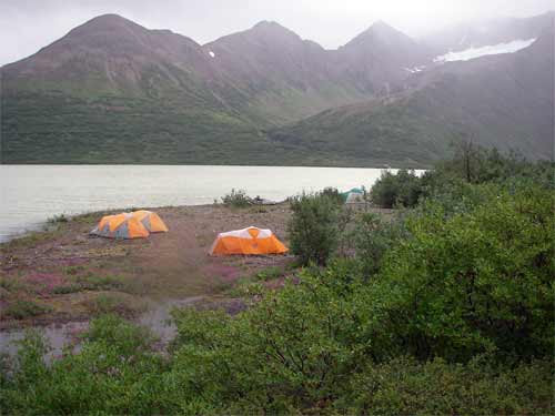
We arrived by DeHaviland Beaver floatplane after a one-day delay in our plans. Rick, our pilot, helped off-load our gear and took off again immediately. We too advantage of the dry weather to set up our cook tent near the landing and then our 3 sleeping tents at sites as far down the beach from the cook tent as possible. (This in important because bears may be drawn to cooking odors and we don't want them to surprise us when we are in sleeping tents!)
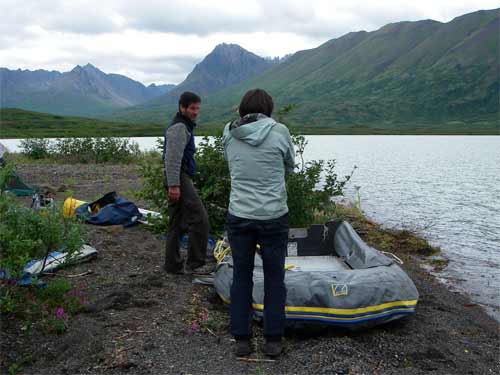
3:00 PM The weather was still workable, so Heidi said "let's go for it!" We quickly gobbled lunch and went to work! First order of business was setting up the Zodiac, with each of us taking a turn on the foot-pump.
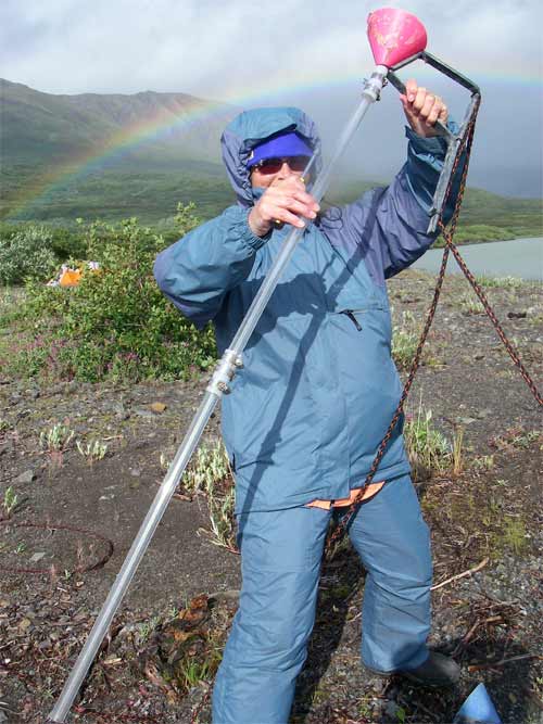
Within 2 hours we were out on the lake to recover sediment traps that had been deployed two years ago. We found the sites using a GPSA Global Positioning System (GPS) is a satellite-based navigation system used to track the location or position of objects on the Earth’s surface. then dragged a chain between two long poles to snag a buoy anchored 2 meters below the surface. (that underwater distance is important to prevent the buoy being caught in surface ice and possibly dragged out of position during break-up in the spring or by floating surface debris during a wind storm.
Sediment traps (a tube suspended below a funnel), temperature loggers, and a large heavy rock are on each system. We pulled in the ropes and carefully kept the trap tubes upright to preserve the stratigraphy* of the sediment collected in the traps.
6:00 PM with the traps from the two sites in we decided to take advantage of the obviously deteriorating weather to get data from a air temperature logger set up in the scrub trees on the beach. The three of us set off through the dense alder and willow in strategically calculated systematic circles, led by Heidi calling "Hey bear!" loudly as she beat through the brush. This was not as easy as it sounds: we first had to wade along a drowned beach and through a fairly swift stream where it flowed into the lake. Heidi finally spotted the data logger and climbed the tree to connect the computer interface cable.
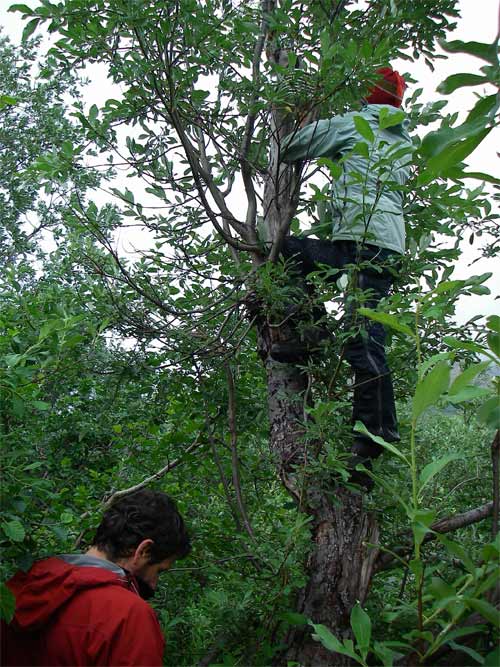
We were disappointed to learn that the device had malfunctioned. We replace the logger with a spare and returned to camp. At 7:00 PM we met in the cook tent to download data from temperature loggers, record in journals, and then prepare dinner. By 9:30 we were eating chicken noodle soup and hot tortillas, followed by cookie crumbs and conversation as we planned the next day's work. By the time we climbed into bed at 11:30 it the wind had come up and it was starting to rain. It was great to have nice dry tents and warm sleeping bags to crawl into.
BLAKE asked: How are you guys going to land on a lake if it is frozen? Well, we aren't! If you check the GPSA Global Positioning System (GPS) is a satellite-based navigation system used to track the location or position of objects on the Earth’s surface. coordinates for the lake where we are, you will see that we are several hundred miles south of the Arctic Circle and the water is not frozen. There are some patches of snow at the tops of mountains, and we can see 2 glaciers near Cascade Lake, but the lake is open water. The worst problem we had with landing is wind…. If it had been blowing any harder we could likely could not have landed safely and probably never would have taken off this morning. …But, wait, there's more: when lakes are frozen the planes wear skis instead of pontoons and land right on the frozen surface of the lake! Then it is important to know that the ice is thick enough to support the plane.
*check vocabulary for "stratigraphy."


Comments