Today, I was able to attend a full day sea ice training with Field Safety Instructor, Ned Corkran.
Each winter, the top of the ocean around Antarctica freezes into a 2m (6ft) thick layer of sea ice that latches onto the continental ice shelf and sits on top of the ocean. As the temperatures warm in the summer, sea ice begins to break up and melt back into ocean water.
As sea ice melts, it doesn't just slowly get thinner and thinner until it disappears. Rather, big chunks of the ice break off of the larger mass, and float back out to sea.
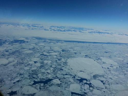
As long as the sea ice is thick, it is very strong and stable. In fact, most flights coming into McMurdo land directly on the sea ice surface for much of the year! Many scientists also set up camp on the sea ice to study it and all the species of wildlife that call it home.
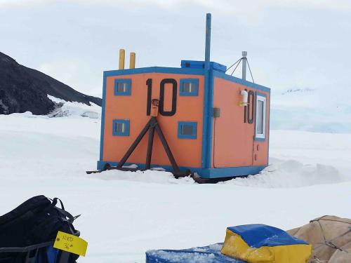
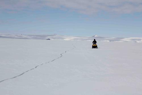
Right now, however, the sea ice is beginning to crack, posing severe and hazardous threats to people and vehicles that use it. It is not always easy to see these cracks, though, because they can get covered back up with new or drifting snow.

So Ned and a whole team of experts are responsible for monitoring the sea ice, marking off potential hazard areas, and training people to safely travel across them.
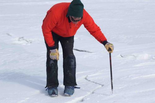
As part of my training, I got to go out with him, and learn how to monitor and assess cracks in sea ice.
We set out on a pair of snowmobiles, and drove out on the main "road" on the ice.
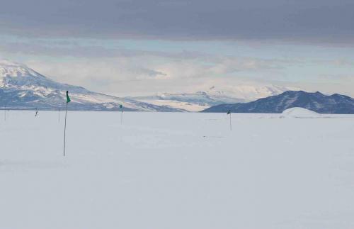
Before long, we came upon a rather large herd of seals. Since seals chew breathing holes from the water up through the ice, seeing a big group of them is usually a sign of weakening or cracking ice. We decided to stop and take a look.
Sure enough, there was a crack in the sea ice wide enough for seals to use to come in and out of the water!

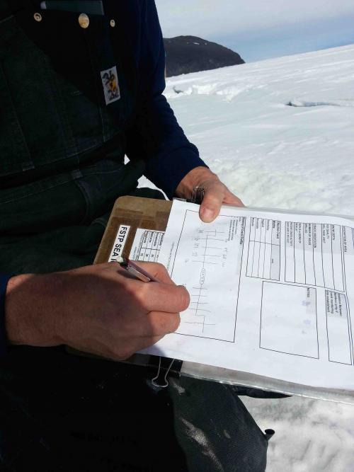
The process of assessing a crack requires finding the edges of the original crack, using a large drill to measure the ice thickness (we expect it to be about 5-6 feet thick), and measuring any layers of ice and snow that may have formed inside of it.
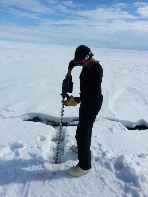
The Field Safety team has developed an algorithm to decide whether it is safe for people, snowmobiles, or heavy machinery to cross over a crack, depending on its width, the thickness of the ice, and its internal temperature.

After drilling holes to measure the thickness and eventually the width of the crack, Ned decided that it was safe enough for people and vehicles to cross.
Right around that time, a group of Adélie penguins approached, and seemed to survey the crack themselves, deciding it was safer not to cross. Well, to be fair, the width of the crack was more than 1/3 the width of their feet, so they were probably right.

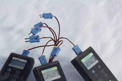
After we finished up here, we went to a couple of other sites where Ned and his team are monitoring the internal ice temperature, to record some measurements.
While heading out to the second temperature site, Ned found a fresh crack that had not yet been recorded by his team. He took his snowmobile and drove up and down the length of it, while I stood around taking pictures of my beautiful surroundings.

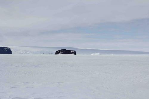
Between riding around on snowmobiles, taking in the gorgeous scenery, seeing seals and penguins up close, learning about sea ice, playing with big power tools, and enjoying the lovely weather outside, I think this was my favorite day in Antarctica so far.
Oh, and, in case you are wondering, YES, it definitely feels like Antarctica now!!


Comments