Nate Healey is a post-doctoral researcher at Florida International University who works with master's student Jose Luciani on one of the more curious looking objects on the hill above Toolik Lake. The Miami duo run what is often referred to as "the trolley." They are also fun guys to hang out with - see the Tron costume from my June 23 journal. The trolley is actually a Networked Infomechanical System, or NIMS. The NIMS is basically a series of fancy observational tools loaded onto a platform about 4 feet off the ground. The NIMS moves along some cables that are stretched between two towers that are 50 meters apart. A small motor drives pulleys that move the NIMS between the two towers at a snail's pace. The entire system is powered by batteries charged off of a photovoltaic solar panel.
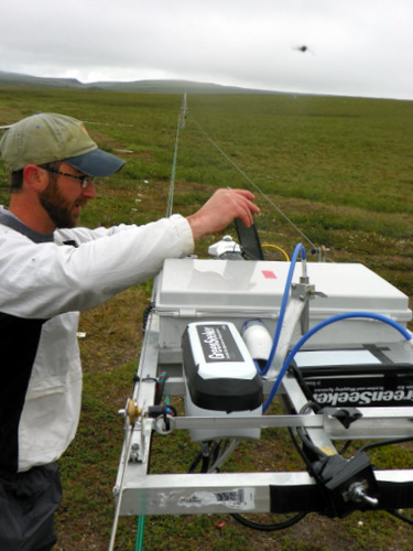

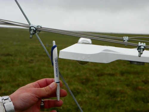
The NIMS is loaded up with various sensors including:
- "Green Seeker" NDVI Camera (Normalized Difference Vegetation Index) that emits infrared radiation down to plants, and measures what is reflected. This useful method of observation can be used to determine something as simple as the density of green material on the earth's surface.
- Net Radiometer - has sensors pointing up at the sky (to measure incoming solar radiation as well as long wave radiation from the atmosphere), and sensors pointing down (to measure the solar radiation being reflected from the ground as well as infrared energy emitted from the earth’s surface).
- Infrared Temperature Sensor to measure the ground's surface temperature .
- Sonic Distance Sensor that emits an acoustic signal to measure vegetative height.
- Wheels to measure the distance the NIMS travels within 3cm of accuracy.
- Spectrometer that measures the radiation from the UV to near infrared reflected by vegetation compared to that reflected by a white reference surface.
- Air temperature sensor
- 3-D Camera
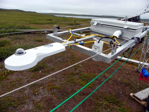
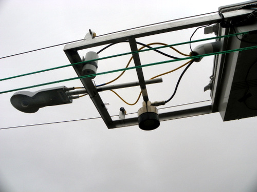

The trolley moves across the transect (path of study) at roughly two meters per minute. It takes close to 25 minutes to make one pass of the trolley. The NIMS scans everything in its path and takes a reading every 3 seconds.
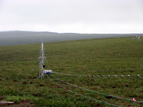
The transect crosses three distinctly different areas. It starts out over dry heath, moves across a water track, then onto the familiar tussocks of moist acidic tundra. Nate records the time that the trolley starts, crosses each of the three different areas, and when he stops it at the far tower.
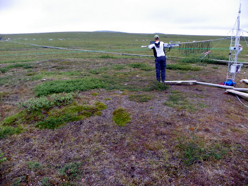
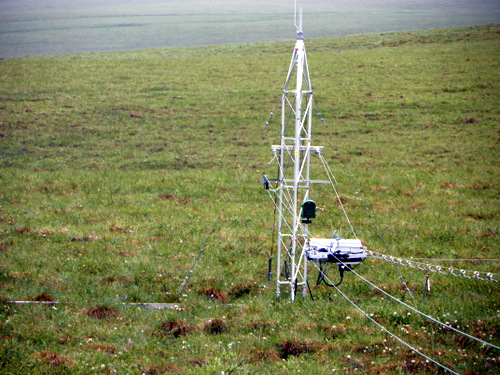
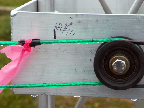
While many of the functions of the NIMS are automated, Nate still needs to stop it before the net radiometer crashes into a guy-wire 50 meters away. I was surprised how close he could get to the guy-wire on the far tower using marker tape tied to the cable approaching the first tower.
After two runs and in less than an hour Nate has collected 36,814 data values for this transect. He explains that the work they are doing is simply about collecting observations. Unlike many other projects here, this one is not hypothesis driven. It is part of the ITEX AON Project. The International TundraA treeless area between the icecap and the tree line of arctic regions, having a permanently frozen subsoil and supporting low-growing vegetation such as lichens, mosses, and stunted shrubs. Experiment (ITEX) Arctic Observing Network (AON) started in the early 90's to study environmental change in the arctic. The project collects data on plant growth, community composition, phenology (studying the timing of natural events like flowering, growth, etc.), and other ecosystem properties. It's just another example of the many ways that scientists are making observations here!


Comments