What is Antarctica Day?
Today marks the 51st anniversary of the signing of the Antarctic Treaty. The Antarctic Treaty is a document that ensures "in the interests of all mankind that Antarctica shall continue forever to be used exclusively for peaceful purposes and shall not become the scene or object of international discord." It was signed in 1959 by the 12 countries that were active in Antarctica at the time. 37 other countries have also signed the treaty since then.
You can read the Antarctic Treaty here
Environmental Implications
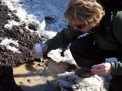
Since the first draft of the Antarctic Treaty, additions have been made to ensure Antarctica is protected. There are now rules to protect the marine organisms that live here, restrictions on mining, and other important environmental protocols. The environmental monitoring that my research team is doing has a strong tie to the Antarctic Treaty since it provides information about the health of the environment in McMurdo.
From the past to the present
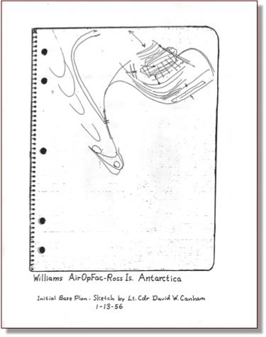
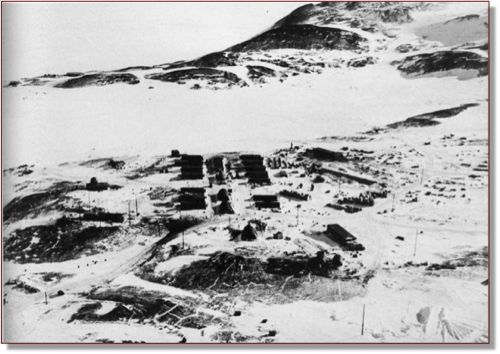
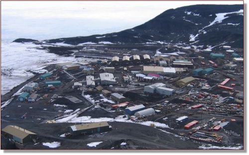
Hut Point Peninsula, where McMurdo is located, has played an important role in the historical development of Antarctica since the early 1900s. In 1902 it was the starting point for Robert Scott's Discovery Expedition, the first expedition in Antarctica. In December of 1955, the U.S. built its naval air facility at the tip of Hut Point Peninsula. It was officially named McMurdo Station in 1961 and over time more buildings were constructed at the site. The nearby New Zealand station, Scott Base, was established in 1957.
Pollution at McMurdo
In the early days at McMurdo, there was a simple but detrimental solution for getting rid of waste and trash: dump it in the bay. Barrels of oil, mechanical equipment and other trash were pushed into Winters Quarter Bay and the ice gradually pushed it farther off shore. Landfills were created on the island, which were favorite spots for Skuas, but were not environmentally safe. Up until 2003, sewage flowed out into the ocean as well, affecting the marine organisms living there.
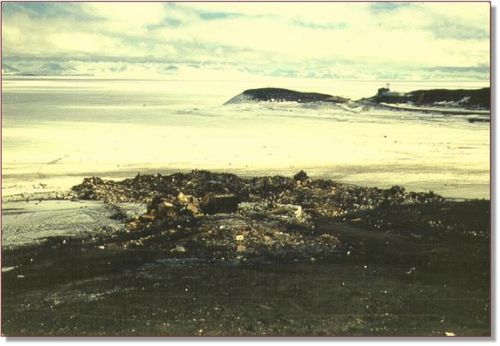
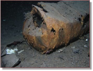
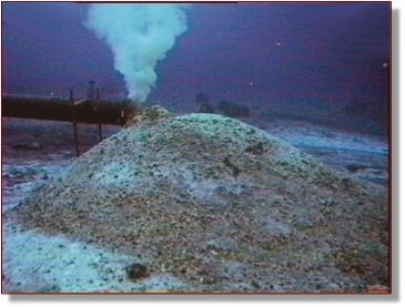
Since then, things have changed dramatically at McMurdo station. Trash is now recycled or shipped back to the United States. We have a sewage treatment plant that cleans waste instead of dumping it into the sea. Despite these changes, the effects from past pollution along with the accidental oil and chemical spills that occur today, make it necessary to constantly monitor and evaluate the health of McMurdo.
Environmental Monitoring
As I've mentioned in previous journals, our project's goal is to monitor the sites where pollution has occurred and may be occurring at McMurdo station. Before collecting samples at various sites, our research team analyzed photos of McMurdo Station to see where people were disturbing the land. The maps below show the areas of disturbance on land over time and locations in the sea where debris has been dumped.
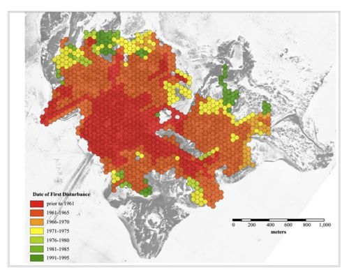
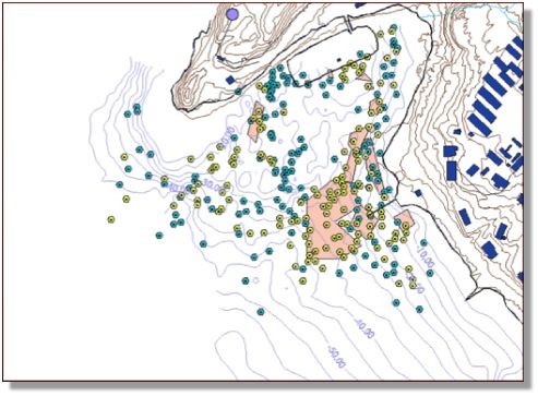
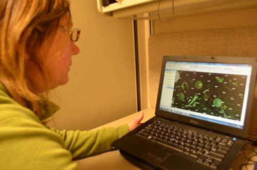
Each year the team samples the sediment in these disturbed areas. Andrew Klein created a computer program that randomly picks sampling points within these areas. The team then uses GPSA Global Positioning System (GPS) is a satellite-based navigation system used to track the location or position of objects on the Earth’s surface. to find the exact location of each point, collects the sediment, and ships it back to Texas A&M University to analyze the chemicals that are in it. By continually looking at what is in the sediment, the researchers can tell if the environment at McMurdo station is improving or declining.
Questions
Look at the two photos of McMurdo Station from 1955 and 2005. What is different? What is the same?
What are some negative effects of dumping the oil barrels and other equipment into Winters Quarter Bay?
Math Connections
How many total countries have signed the Antarctic Treaty?
Look at the map of disturbances at McMurdo Station. How could you estimate the total area that has been disturbed at McMurdo. What math tools could you use?
Cool Careers in Antarctica
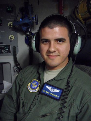
Meet Erik Hernandez. Erik works for the U.S. Airforce, helping to fly the C-17 planes from Christchurch, New Zealand to Antarctica. Erik monitors the controls on the plane and also controls the aircraft's ability to drop pallets (large bundles of equipment or supplies) off of the plane. When not flying to Antarctica, Erik travels to other locations around the world, including Afghanistan and Africa. He is originally from Texas and loves travelling around the world.

Comments